Gaelic meaning :
Height :
Walk distance :
OS Map :
Difficulty rating :
Tuesday, 28 September 2010
Sunday, 26 September 2010
Ben Chonzie
 |
| Summit approach on Ben Chonzie |
Height : 3,054 feet
Walk distance : 7.75miles
OS Map : Crieff, Comrie & Glen Artney
Difficulty rating : 2 out of 5
Ben Chonzie (pronounced Honzie) sits alone at the head of Glen Turret and is the highest point in a large area of high heather covered ground.
At 3,054 feet it's a small Munro and one that is pretty straightforward to climb, gentle to moderate inclines and a decent path most of the way up make for a steady ascent.
I had a great day to climb this little mountain and set out early on a glorious Sunday morning to try out my new birthday present, my long sought after handheld GPS !
After just over an hours drive I turned off from the picturesque little village of Comrie and after 15 minutes or so pulled in at the start of the walk, parking at the farmhouses at Coishavachan I started up the vehicle track towards Glen Lednock.
 | ||||
| Park opposite the farm houses at Coishavachan |

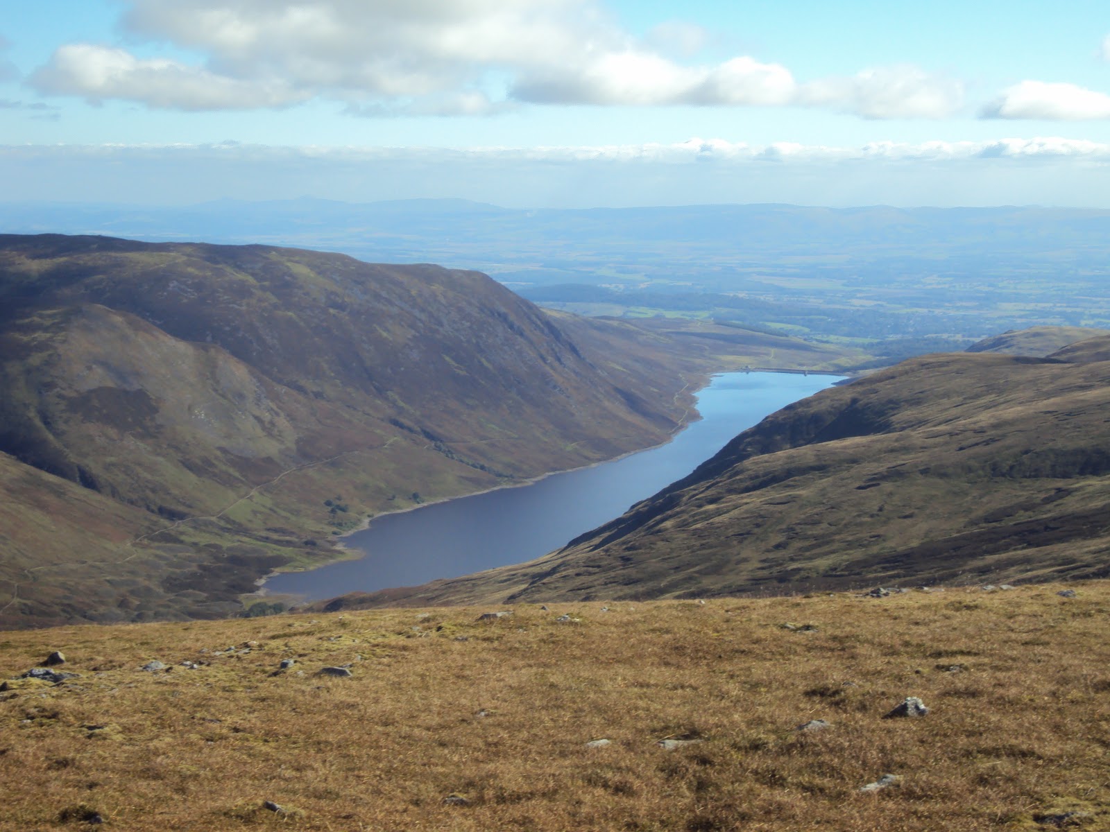
Once past the dam the views open up and some familiar sites start to come into view as Loch Earns Ben Vorlich appears.
 |
| At last! I get to see the summit of Ben Vorlich |

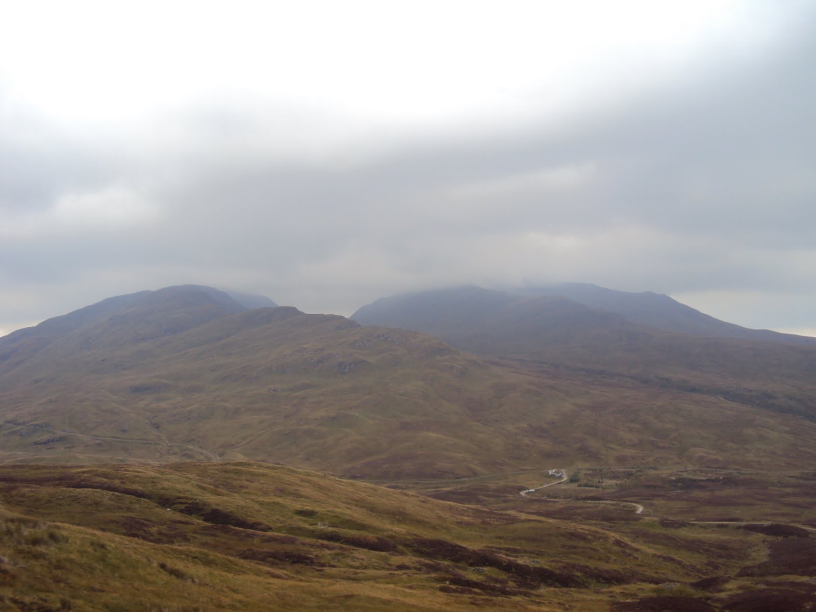
The path will eventually split in two directions when you reach a small cairn. The path to the right maintains the quality of the vehicle track, but that's typically not the path you have to follow. The path to the left quickly becomes quite boggy and at times is difficult to discerne. It was at this point I found myself harassed by every walkers nightmare . . . another walkers dogs ! Stick with what there is of the path which will keep rising and you'll very soon spy a line of fence posts follow these as they head of at a right angle then these basically lead the way to the summit.

Once at the summit (easily distinguished by the huge sheltered cairn) you can take in some stunning views in all directions, particularly of the Lawers range.

Chonzie was an enjoyable day out and is a suitable walk for most people, certainly popular and rivalled Ben Lomond for human and canine traffic!
 |
| Glen Turret |
Here's the profile of the walk I took :

And here's the route :

Sunday, 5 September 2010
Meall nan Tarmachan

Gaelic meaning : Hill of the Ptarmigans
Height : 3,422 feet
Walk distance : 7.5 miles
OS Map : Ben Lawers
Difficulty rating : 2.5
Meall nan Tarmachan is perhaps more famous not for it's beauty or height, but for the challenging Tarmachan ridge that runs North to Creag an Lochain.
Meall Nan Tarmachan is part of the Lawers range and sits West of the more renouned Ben Lawers. It's a relatively straight forward climb and has a pretty high start point so isn't too much of a challenge.
I set out early on a pretty dreich morning with the weather forecast promising a slight improvement later on in the day. Arriving at the car park slightly further up the road from the Ben Lawers visitor centre (now closed) the weather hadn't improved much.
 |
| Car park just after Ben Lawers Visitor Centre |
The Path is well maintained and easy to follow. Once you set off from the car park head along the road (Past the Ben Lawers Nature sign) then look for a path that heads of to the right about a quarter of a mile along. It's easy to miss so keep your eyes peeled.
 |
| Dam beneath Loch an Daimh |
Follow the obvious path and eventually you will come to a 923 metre minor summit, I passed a few people on the way down who were confused and thought this was the summit proper.
 |
| Trixy little minor summits' ! |
 |
| Handy! |
 |
| The view ! |
 |
| Meall Corranaich with Beinn Ghlas and Ben Lawers in the background |
Here's the profile including the ridge :

And the full route :

Subscribe to:
Comments (Atom)