Thursday 23 December 2010

The Pentland Hills Winter 2010

The Pentlands have already been covered, so I wont add any more other than some pictures


Both images are of the view from the car park at Harlaw


View of Carnethy Hill heading towards Maidens Cleugh


East Cairn hill


Small wood on Bells Hill

Tuesday 21 December 2010

Almondell and Calderwood Country Park

Winter 2010 will go down as one of the worst (or best depending on your view) on record in recent years. Siberian winds moved in as early as November (still technically Autumn) and only temperarily shifted when some lovely Arctic weather fancied a shot. Due to this, my rear wheel drive car and inability to drive in the snow I thought it best not to go on any 100 mile drives to the mountains, so I've stuck to more local walks when able to get out.

West Lothian has some surprisingly picturesque areas mercifully lacking in people and buckie bottles. There's also a few more walks than I expected so you have plenty of options if you fancy a short day walk. If you fancy a walk where you can see some of the more colourful wildlife, try the Aldmondvale centre on a Saturday night.


I live near the A71 and drive past the Almondell and Calderwood park every morning on my way to Edinburgh. Although it took me about 2 years to spot the sign, purely down to me being the conscientious eye's on the road type driver I am ;-)

To be honest I was pleasantly surprised with the walk, I didn't expect much at all. After the intial dull section you head down into a thickly wooded gorge, the path is about 150 feet up from the River Almond which can be seen fleetingly through the foliage.

After that just follow the path round, there's nothing much to the walk. It's easy and very short, but a nice break for an hour should you fancy it. But roll on spring so I can get back to proper walking !!


Sunday 10 October 2010

Beinn an Dothaidh (& Beinn Dorain again)

Beinn an Dothaidh from Bridge of Orchy station.

Gaelic meaning : Hill of the scorching 
Height : 3,293 feet
Walk distance : 8.75 miles
OS Map : Loch Etive
Difficulty rating : 3

As you may have already read this is an area I've been to before. Beinn an Dothaidh is somewhat overshadowed by it's more recognisable neighbour Beinn Dorain. So much so that I climbed Dorain in July and completely missed Dothaidh, literally (terrible weather). So I decided it was high time to come back and climb this, as the weather was forecast to be pretty good I thought I'd also climb Dorain and take in the view from the summit, which was sadly lacking the last time. It is Scotland after all!

On arrival the conditions were not quite as the weather forecast had promised, a howling wind blew and the tops of both Munro's were covered in cloud. Uncool. Still, onwards and upwards.

As the wind was blowing from the south the closer you came to Coire an Dothaidh the more sheltered it got, and as time passed the clouds started to get blown away, a bit. Once you arrive at the top of Coire an Dothaidh you have to decide which Munro you want to tackle so choose the path to either the left or the right.

The path from Coire an Dothaidh isn't the greatest, but it's fun

 As I was heading for the summit of Dothaidh I took the left path. Easily followed for a short while up a relatively gentle incline it soon becomes a minor scramble over some loose rocks then on to some fairly boggy featurless ground.


Stick with it and eventually (if you're not sucked into the mud) a path will appear. Follow this a short while until you see a path head to the left at a 90o angle. Up there you'll find the summit.

Looking back from the summit
I didn't stay long due to the wind so I started to head back down. When I got to the Corrie things had cleared up nicely so I decided to try again for the Summit of Dorain, which was totally worth it. Although I forgot to take any pictures . . . .

Beinn Achaladair from near Dothaidh's summit.

On the way back from Dorain the view really opened up and the Black Mount Peaks were in fine view

R-L - Stob a'Choire Odhair, Stob Ghabhar, Meall Nan Uan, Glas Bheinn Mor

I really enjoyed this walk and would recommend it whole heartedly.


Tuesday 28 September 2010

Gaelic meaning :
Height :
Walk distance :
OS Map :
Difficulty rating :

Sunday 26 September 2010

Ben Chonzie


Summit approach on Ben Chonzie
Gaelic meaning : Mossy Mountain
Height : 3,054 feet
Walk distance : 7.75miles
OS Map : Crieff, Comrie & Glen Artney
Difficulty rating : 2 out of 5


Ben Chonzie (pronounced Honzie) sits alone at the head of Glen Turret and is the highest point in a large area of high heather covered ground.

At 3,054 feet it's a small Munro and one that is pretty straightforward to climb, gentle to moderate inclines and a decent path most of the way up make for a steady ascent.

I had a great day to climb this little mountain and set out early on a glorious Sunday morning to try out my new birthday present, my long sought after handheld GPS !

After just over an hours drive I turned off from the picturesque little village of Comrie and after 15 minutes or so pulled in at the start of the walk, parking at the farmhouses at Coishavachan I started up the vehicle track towards Glen Lednock.

Park opposite the farm houses at Coishavachan 
Not far into the walk you'll pass a little dam where the path turns off to the right, the incline steepens slightly and the path becomes slightly rockier but is still manageable and very easy to follow.


Once past the dam the views open up and some familiar sites start to come into view as Loch Earns Ben Vorlich appears.

At last! I get to see the summit of Ben Vorlich
At this point the incline steepens up a bit more and the vehicle track can be seen zig-zagging up the side of the mountain, still no sign of the summit though !


The path will eventually split in two directions when you reach a small cairn. The path to the right maintains the quality of the vehicle track, but that's typically not the path you have to follow. The path to the left quickly becomes quite boggy and at times is difficult to discerne. It was at this point I found myself harassed by every walkers nightmare . . . another walkers dogs ! Stick with what there is of the path which will keep rising and you'll very soon spy a line of fence posts follow these as they head of at a right angle then these basically lead the way to the summit.


Once at the summit (easily distinguished by the huge sheltered cairn) you can take in some stunning views in all directions, particularly of the Lawers range.


Chonzie was an enjoyable day out and is a suitable walk for most people, certainly popular and rivalled Ben Lomond for human and canine traffic!

Glen Turret
Here's the profile of the walk I took :


And here's the route :


Sunday 5 September 2010

Meall nan Tarmachan


Gaelic meaning : Hill of the Ptarmigans
Height : 3,422 feet
Walk distance : 7.5 miles
OS Map : Ben Lawers
Difficulty rating : 2.5
Meall nan Tarmachan is perhaps more famous not for it's beauty or height, but for the challenging Tarmachan ridge that runs North to Creag an Lochain.

Meall Nan Tarmachan is part of the Lawers range and sits West of the more renouned Ben Lawers. It's a relatively straight forward climb and has a pretty high start point so isn't too much of a challenge.

I set out early on a pretty dreich morning with the weather forecast promising a slight improvement later on in the day. Arriving at the car park slightly further up the road from the Ben Lawers visitor centre (now closed) the weather hadn't improved much. 

Car park just after Ben Lawers Visitor Centre
The truth that every Munro bagger needs to face up to is that Munro's are in Scotland, so good weather is never guaranteed, but with the old saying  "If you don't like the weather, just wait 5 minutes and it'll change" in my head I set of for what would be an interesting climb.
The Path is well maintained and easy to follow. Once you set off from the car park head along the road (Past the Ben Lawers Nature sign) then look for a path that heads of to the right about a quarter of a mile along. It's easy to miss so keep your eyes peeled.

Dam beneath Loch an Daimh

Follow the obvious path and eventually you will come to a 923 metre minor summit, I passed a few people on the way down who were confused and thought this was the summit proper.

Trixy little minor summits' !
Carry on over this and decend for 100 metres or so, cross the style and head over the boggy bealach until you reach the foot of the summit proper.

Handy!
Now the real climb begins, you will soon reach a steep and rocky gully with some substantial and slippery stone steps cut into them. Take care on these as they are a potential hazard, the gully is around 50 metres so not huge but it's steepness led for a few stops to ehm . . . take in the view !


The view !
Once through the gully you are almost there, follow the path then take a left at the plateau to reach the summit proper. It was at this point I decided to head back down. I had gone up hoping to cross the Tarmachan Ridge but the much promised improvement in the weather never materialised when I was there, in fact it worsened and the winds were some of the worst I'd experienced while walking. Faced with an 80 metre long and 1 metre wide ridge traverse I decided the weather had won and headed back down. The ridge will have to wait for another day . . . .

Meall Corranaich with Beinn Ghlas and Ben Lawers in the background

Here's the profile including the ridge :


 And the full route :


Wednesday 25 August 2010

Ben Vorlich


Gaelic meaning : Hill of the bay
Height : 3,232 feet
Walk distance : 8.25 miles
OS Map : Loch Earn
Difficulty rating : 2.5


Loch Earn's Ben Vorlich is one of the first Munro's seen when heading north along the a82. Sitting on the Banks of the Loch it reaches a height of 3,231 feet and apparently commands great views of the hills further north. I've climbed twice and both times never seen anything from the summit. Vorlich is a mountain of two halves, the first section of the path is a doddle as you follow a vehicle track up the Glen.


The second half is a tough slog as you leave the well made vehicle track and head up the side of the steep mountain.


Hopefully you'll have better views of the Corrie near the summit than I had.


Views at the summit where non-existant, but blustery wind, cold and rain where prevalent so I didn't hang around for long.


I didn't enjoy this walk that much. On the day I found it was a real effort and it felt like it took for ever. Later that week I found out I had Lyme disease . . .  so I guess that would explain it then !

**Updated pics** this time with a view.


 The view over to Stuc a' Chroin


Here's the elevation with Stuc a' Chroin included on the right :


And the full route with Stuc a' Chroin also

Glen Banvie and the Falls of Bruar


Walk distance : 10 miles
Total ascent : 1,247 feet
OS Map : Pitlochry
Difficulty rating : 1.5 out of 5
 
Another of Blair Atholl's fine day walks takes you through a mixture of woodland, forestry and open moorland. Towards the end you are rewarded with the incredible Falls of Bruar. Steeped in history, this walk is fairly easy going and well signposted, a great way to wile away 4-5 hours.


Starting from the car park at Old Blair follow the orange arrows towards the Hamlet of Old Blair. A really picturesque little place I didn't expect to find, tucked away in St Brides Kirk, a fascinating peice of Scottish history. Namely the grave of John Graham of Claverhouse, more commonly known as Bonnie Dundee. If you want to find out more about him I'd recommend the Bealach na Searmoin and Killiecrankie walk.


Once you've left the leafy hamlet you'll soon cross the Banvie Burn and enter the Banvie woods.


Not far into the woods you'll come a cross a sign for "The Whim" a folly built by one of the Dukes of Atholl.


The Whim is at a stage on the walk which makes it a natural and great place to stop for a rest, you're afforded great views back to Blair Castle and beyond.


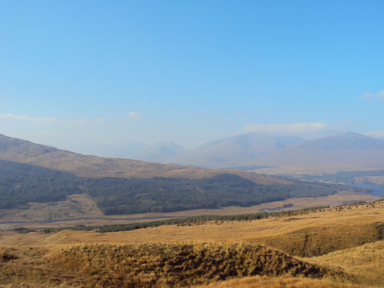
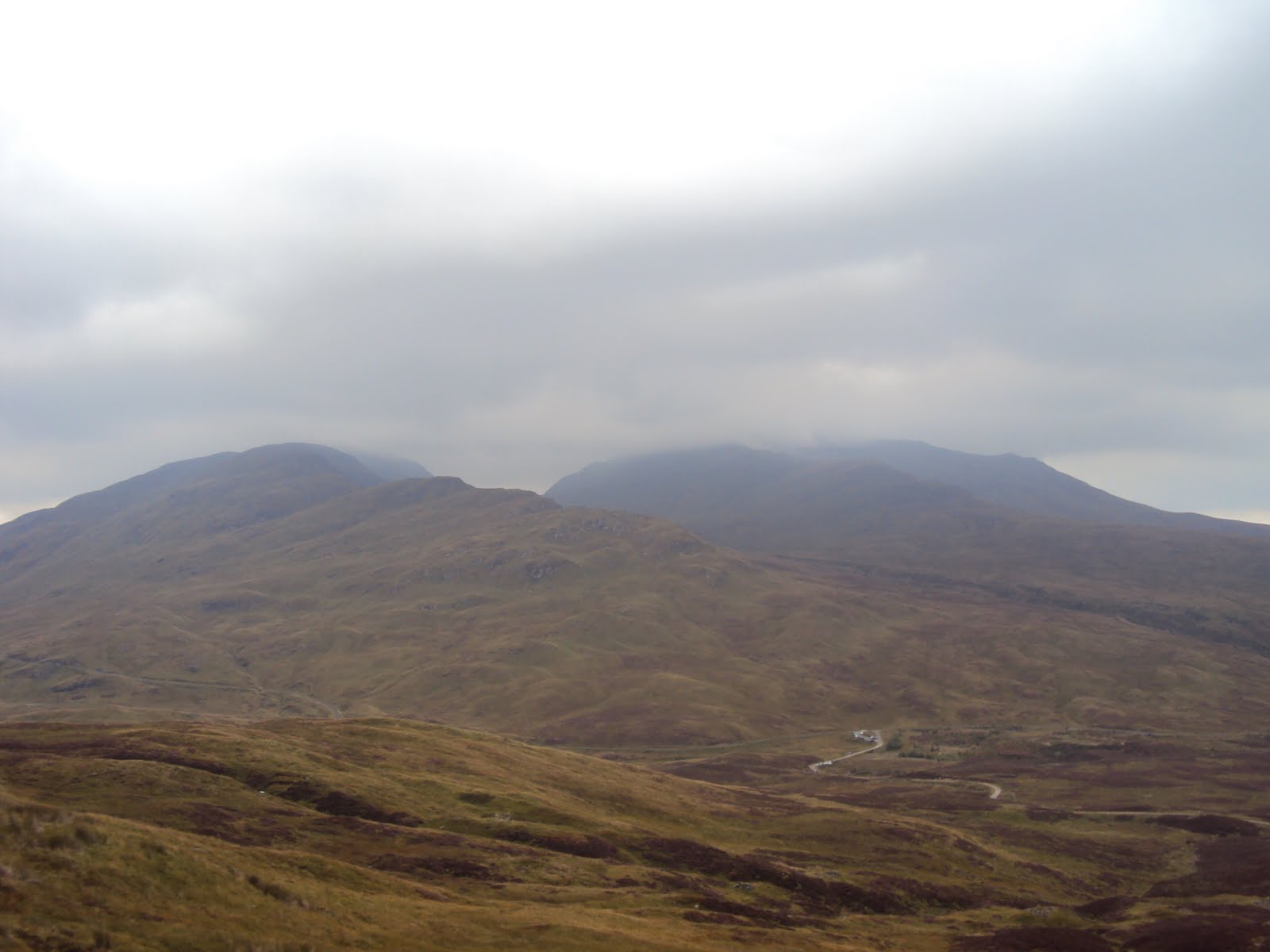
After returning to the path and following it through the woods you'll soon exit and enter the bleak but atmospheric Glen Banvie. Follow the vehicle trackpassing the distant cairns off to the right.


 I didn't pass a single soul here until I reached the pine trees near the end of the Glen.


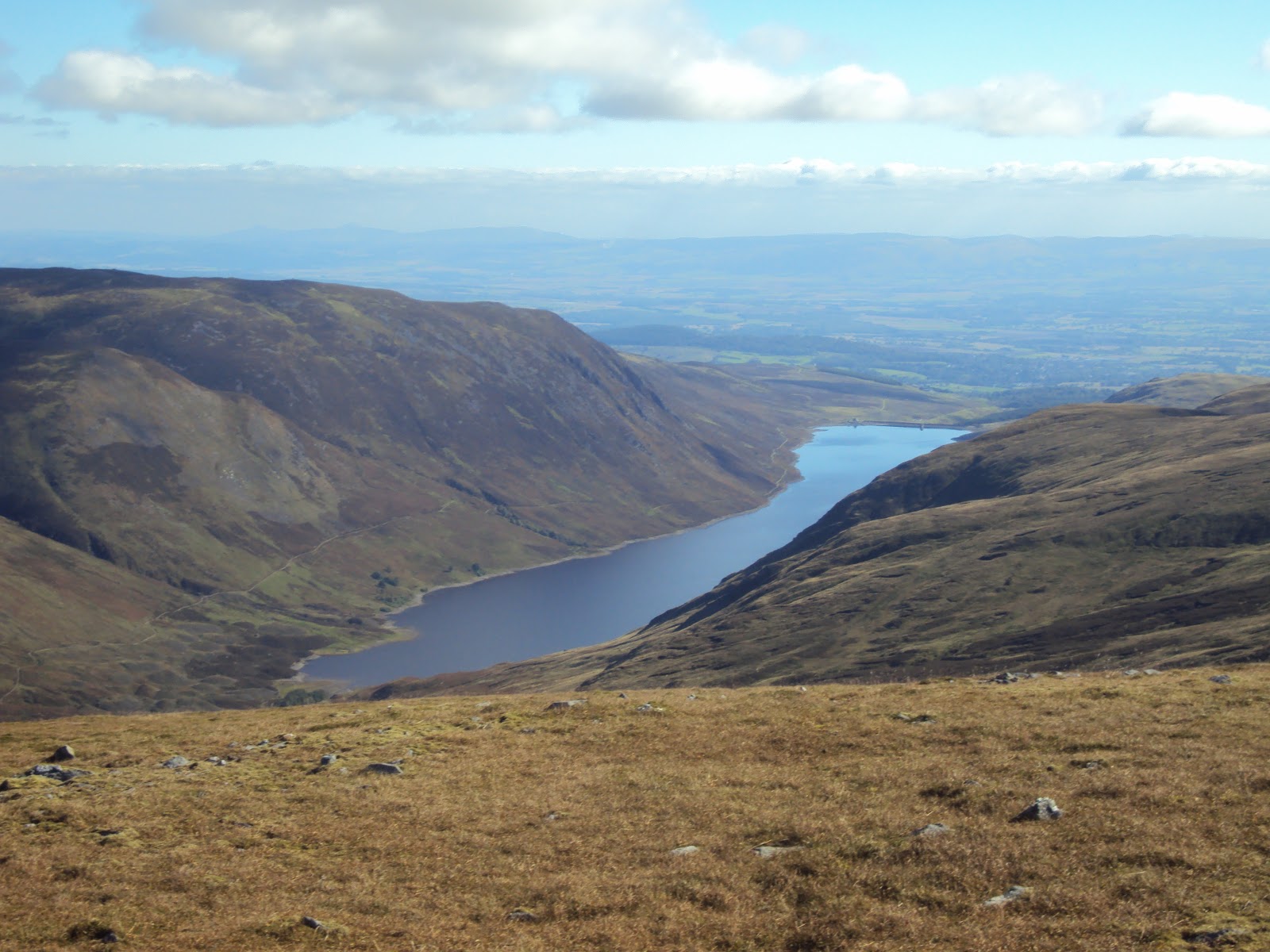
When your heading up the Glen you'll notice a track on the other side, this path will take you to Beinn Dearg. At 3,307 feet it's not a monster, but it's fairly remote and is an 18 mile round trip, so definitely one for another day. Continue on through the Pine plantation and start heading downhill, you'll soon reach the sign for the Falls of Bruar.


I'd recommend making time to see these wonderful falls. Once rested and fed continue on until you reach your original starting point.


Hard to believe that until around 300 years ago there were no tree's here at all!


The first tourists complained the falls were nothing spectacular and too bleak, so the Earl of Atholl planted trees, millions of them.


Here's the route profile :


And the route itself :