
Gaelic meaning : Hill of the Otters
Height : 3,530feet
Walk distance : 8.75 miles
OS Map : Loch Etive
Difficulty rating : 2.5
I first saw this Munro while on the train to Fort William for my attempt at the Great Glen Way. Dorain at 3,530 feet sits at the southern edge of a 10km ridge of 4 munros ending with Beinn a' Chreachain (3,546 feet).
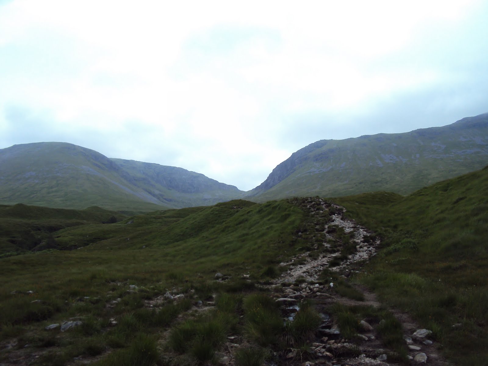
What looked like a cone shaped mountain turned out to be a Y shaped mountain with an impressive Corrie (Coire an Dothaidh) sitting 2,455 feet up.
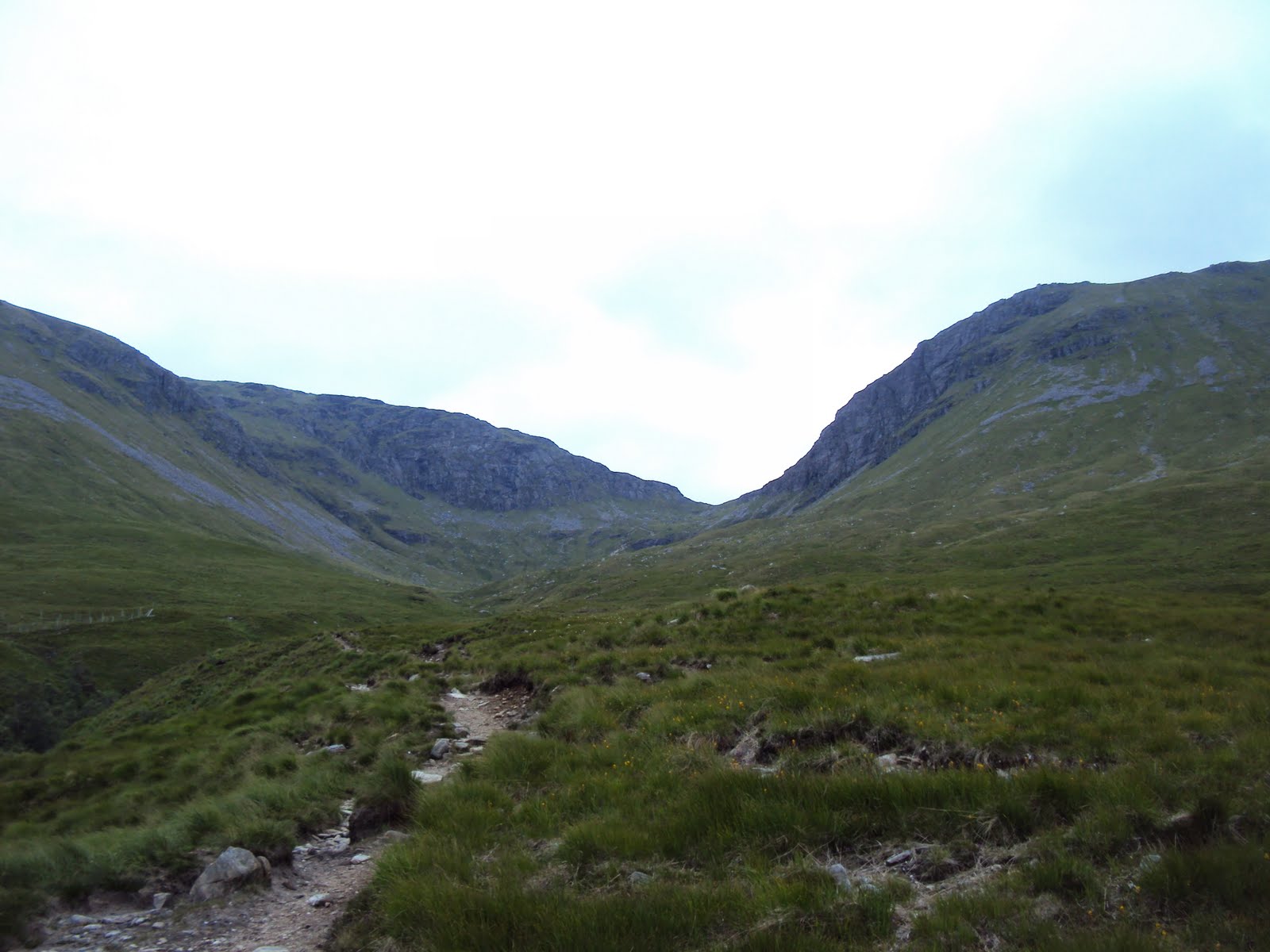
The path up is a mix of badly eroded stone path or boggy mud and it times can be tricky and unpleasant going. I found this quite enjoyable (at times!) as the Munro's I'd climbed previously were all a bit too 'touristy' and this felt like a 'proper' munro.
When I got to the top of the Corrie the weather worsened and visibility was pretty limited, the track is however pretty easy to follow so you shouldn't too much worry about getting lost.

The further I went the worse the conditions became, from what I could see it looked like an interesting plateau but visibility was around 20 feet at best.

I've no idea what the view from the summit was like and it was getting late so I didn't hang around for long, but I did enjoy the walk, straightforward not too difficult but still a test of fitness and it did feel like a proper munro.

This in parts is a very steep sided mountain so you will need to take care particularly near the summit.
Here's the elevation profile :

And a rough guide to the route :
